 vesseltracker.com
 Julius S
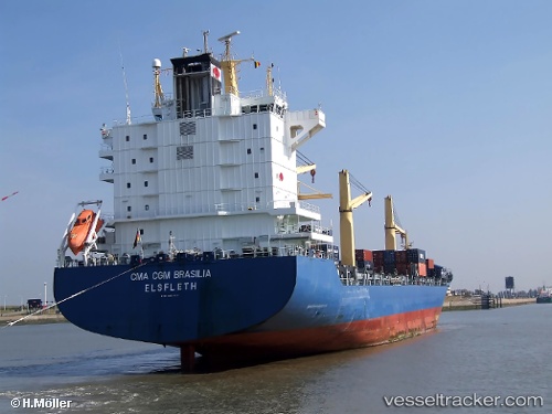
Current Status
Where is the vessel?
Julius S is currently in 21 nm N of New Priok Port, based on AIS data received less than 1h ago.
Latest AIS update:
Current position: 5.75472° S, 106.81641° E (21 nm N of New Priok Port)
Average speed (last 7 days): Loading…
Average speed (last 30 days): Loading…
Vessel profile: Julius S is a Container Ship with dimensions 207m x 207m.
This page combines live AIS, route history, probable destination signals, nearby traffic, and port activity for practical vessel monitoring.
The current position of vessel Julius S is -5.75472 lat / 106.81641 lng. Updated: 2026-05-15 15:55:11 UTCNearest reference points:
- 19 nm N of Cilincing
- Near New Priok Port
- Near Jakarta
Currently sailing under the flag of Antigua Barbuda ![]()
Julius S built in 2004 year
Deadweight:
33742 tDetails:
Live Vessel Julius S Analytics (details, animations, etc.)
Recent AIS points (UTC):
2026-05-15 11:32:09 UTC · -5.18865, 107.01047 · SOG 10.5 kn · COG 190°2026-05-15 13:22:51 UTC · -5.50549, 106.93085 · SOG 10.6 kn · COG 195°
2026-05-15 14:05:44 UTC · -5.62376, 106.88840 · SOG 10.6 kn · COG 204°
2026-05-15 15:55:11 UTC · -5.75472, 106.81641 · SOG 0.4 kn · COG 72°