 vesseltracker.com
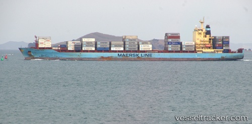
Vessel Maersk Jalan IMO: 9294161, MMSI: 563538000 Container Ship
UTC, 8.95354, -79.56744, course: 42, speed: 0
UTC, 8.95355, -79.56744, course: 42, speed: 0
2026-02-17 18:02:55 UTC, 8.95353, -79.56743, course: 42, speed: 0
Live AIS position:
UTC. Near Rodman),
updated 2026-02-17 18:02:55 UTC.
Find the position of the vessel Maersk Jalan on the map. The latter are known coordinates and path.
marine traffic ship tracker show on live map
The current position of vessel Maersk Jalan is 8.95353 lat / -79.56743 lng. Updated: 2026-02-17 18:02:55 UTCDetails:
Last coordinates of the vessel:
UTC, 8.95333, -79.56667, course: -1, speed: 0UTC, 8.95354, -79.56744, course: 42, speed: 0
UTC, 8.95355, -79.56744, course: 42, speed: 0
2026-02-17 18:02:55 UTC, 8.95353, -79.56743, course: 42, speed: 0