 vesseltracker.com
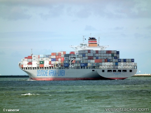
Maersk Launceston
Current StatusWhere is the vessel?
Maersk Launceston is currently in 43 nm SE of West Ocean City, based on AIS data received about 1h ago.
Latest AIS update:
Current position: 37.68397° N, 74.65597° W (43 nm SE of West Ocean City)
Average speed (last 7 days): Loading…
Average speed (last 30 days): Loading…
Vessel profile: Maersk Launceston is a Container Ship with dimensions 38m x 266m.
This page combines live AIS, route history, probable destination signals, nearby traffic, and port activity for practical vessel monitoring.
The current position of vessel Maersk Launceston is 37.68397 lat / -74.65597 lng. Updated: 2026-03-25 17:51:38 UTCNearest reference points:
- 24 nm E of West Ocean City
- 57 nm E of Fenwick Island
- 11 nm E of Reedville
Details:
Live Vessel Maersk Launceston Analytics (details, animations, etc.)
Recent AIS points (UTC):
2026-03-25 11:21:34 UTC · 38.83262, -75.06387 · SOG 9.1 kn · COG 162°2026-03-25 14:27:24 UTC · 38.45807, -74.74672 · SOG 8.5 kn · COG 146°
2026-03-25 16:05:08 UTC · 38.20567, -74.70340 · SOG 14.8 kn · COG 174°
2026-03-25 17:51:38 UTC · 37.68397, -74.65597 · SOG 18 kn · COG 173°