 vesseltracker.com
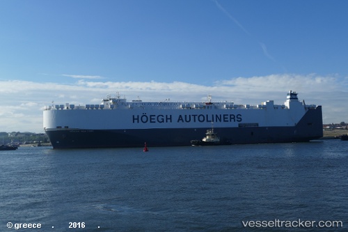
Vessel LIBERTY NEW YORK IMO: 9295830, MMSI: 538011582 Vehicles Carrier
UTC, 43.19105, -142.46797, course: 118, speed: 16.8
UTC, 43.03010, -142.05466, course: 118, speed: 16.1
2026-03-25 02:19:06 UTC, 42.67999, -141.18826, course: 118, speed: 16.2
Live Vessel LIBERTY NEW YORK Analytics (details, animations, etc.)
Live AIS position: UTC. 249 nm SE of Lukovica pri Domzalah), updated 2026-03-25 02:19:06 UTC.Find the position of the vessel LIBERTY NEW YORK on the map. The latter are known coordinates and path.
marine traffic ship tracker show on live map
The current position of vessel LIBERTY NEW YORK is 42.67999 lat / -141.18826 lng. Updated: 2026-03-25 02:19:06 UTCCurrently sailing under the flag of Marshall Islands
Details:
Last coordinates of the vessel:
UTC, 43.49538, -143.25009, course: 118, speed: 16.3UTC, 43.19105, -142.46797, course: 118, speed: 16.8
UTC, 43.03010, -142.05466, course: 118, speed: 16.1
2026-03-25 02:19:06 UTC, 42.67999, -141.18826, course: 118, speed: 16.2