 vesseltracker.com
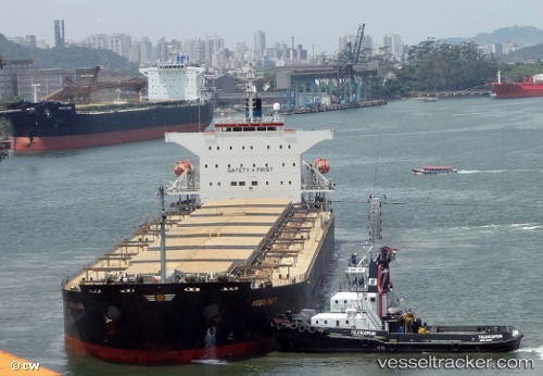
Vessel Megalohari IMO: 9296066, MMSI: 209485000 Bulk Carrier
UTC, 1.28222, 103.93257, course: 302, speed: 0.1
UTC, 1.28141, 103.93026, course: -1, speed: 0.1
2026-03-25 04:03:23 UTC, 1.28157, 103.92985, course: 44, speed: 0.3
Live Vessel Megalohari Analytics (details, animations, etc.)
Live AIS position: UTC. Near Tampines), updated 2026-03-25 04:03:23 UTC.Find the position of the vessel Megalohari on the map. The latter are known coordinates and path.
marine traffic ship tracker show on live map
The current position of vessel Megalohari is 1.28157 lat / 103.92985 lng. Updated: 2026-03-25 04:03:23 UTCDetails:
Last coordinates of the vessel:
UTC, 1.28301, 103.93305, course: 284, speed: 0UTC, 1.28222, 103.93257, course: 302, speed: 0.1
UTC, 1.28141, 103.93026, course: -1, speed: 0.1
2026-03-25 04:03:23 UTC, 1.28157, 103.92985, course: 44, speed: 0.3