 vesseltracker.com
 MULE
MULE
Current Status
Where is the vessel?
MULE is currently in 27 nm E of Martil, based on AIS data received about 1h ago.
Latest AIS update:
Current position: 35.61695° N, 4.71718° W (27 nm E of Martil)
Average speed (last 7 days): Loading…
Average speed (last 30 days): Loading…
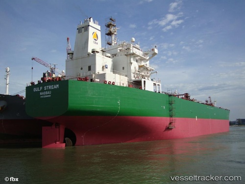
Vessel profile: MULE is a Oil Products Tanker with dimensions 227m x 32m.
This page combines live AIS, route history, probable destination signals, nearby traffic, and port activity for practical vessel monitoring.
The current position of vessel MULE is 35.61695 lat / -4.71718 lng. Updated: 2026-03-25 16:12:02 UTCNearest reference points:
- 30 nm E of Ceuta
- 31 nm SE of Fuengirola
- Near Waterport
Currently sailing under the flag of Barbados ![]()
MULE built in 2005 year
Deadweight:
74999 tDetails:
Live Vessel MULE Analytics (details, animations, etc.)
Recent AIS points (UTC):
2026-03-25 09:36:13 UTC · 35.64415, -4.78742 · SOG 0.8 kn · COG 167°2026-03-25 11:34:33 UTC · 35.61272, -4.77848 · SOG 1.2 kn · COG 163°
2026-03-25 13:34:42 UTC · 35.65328, -4.76897 · SOG 4.7 kn · COG 68°
2026-03-25 16:12:02 UTC · 35.61695, -4.71718 · SOG 3.5 kn · COG 324°