 vesseltracker.com
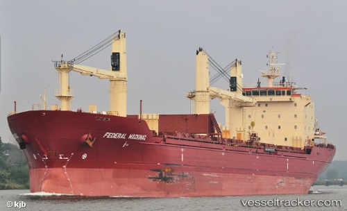
Vessel PACIFIC ROSE IMO: 9299460, MMSI: 314542000 Bulk Carrier
UTC, 19.36644, 40.17701, course: 146, speed: 38.7
UTC, 19.36644, 40.17701, course: 146, speed: 38.7
2026-02-17 02:08:39 UTC, 19.36644, 40.17701, course: 146, speed: 38.7
Live AIS position:
UTC. 53 nm W of Al Qunfudah),
updated 2026-02-17 02:08:39 UTC.
Find the position of the vessel PACIFIC ROSE on the map. The latter are known coordinates and path.
marine traffic ship tracker show on live map
The current position of vessel PACIFIC ROSE is 19.36644 lat / 40.17701 lng. Updated: 2026-02-17 02:08:39 UTCCurrently sailing under the flag of Barbados
PACIFIC ROSE built in 2004 year
Deadweight:
27638 tDetails:
Last coordinates of the vessel:
UTC, 19.37430, 40.08217, course: 146, speed: 38.7UTC, 19.36644, 40.17701, course: 146, speed: 38.7
UTC, 19.36644, 40.17701, course: 146, speed: 38.7
2026-02-17 02:08:39 UTC, 19.36644, 40.17701, course: 146, speed: 38.7