 vesseltracker.com
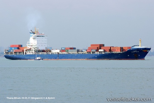
Vessel BIG BREEZY IMO: 9300142, MMSI: 636021736 Container Ship
UTC, 22.03369, 114.13882, course: 126, speed: 0.1
UTC, 22.03226, 114.13873, course: 65, speed: 0.1
2026-03-24 20:20:09 UTC, 22.03255, 114.13863, course: 77, speed: 0
Live Vessel BIG BREEZY Analytics (details, animations, etc.)
Live AIS position: UTC. Near WAILINGDING ISLAND), updated 2026-03-24 20:20:09 UTC.Find the position of the vessel BIG BREEZY on the map. The latter are known coordinates and path.
marine traffic ship tracker show on live map
The current position of vessel BIG BREEZY is 22.03255 lat / 114.13863 lng. Updated: 2026-03-24 20:20:09 UTCCurrently sailing under the flag of Liberia
BIG BREEZY built in 2005 year
Deadweight:
24225 tDetails:
Last coordinates of the vessel:
UTC, 22.03337, 114.13861, course: 111, speed: 0UTC, 22.03369, 114.13882, course: 126, speed: 0.1
UTC, 22.03226, 114.13873, course: 65, speed: 0.1
2026-03-24 20:20:09 UTC, 22.03255, 114.13863, course: 77, speed: 0