 vesseltracker.com
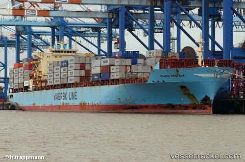
Vessel Maersk Montana IMO: 9305312, MMSI: 367759000 Container Ship
UTC, 45.53833, -9.64500, course: -1, speed: 12
UTC, 45.17333, -10.03167, course: -1, speed: 13
2026-02-15 04:05:39 UTC, 44.76333, -10.45167, course: -1, speed: 13
Live AIS position:
UTC. 93 nm NW of Villanueva de Lorenzana),
updated 2026-02-15 04:05:39 UTC.
Find the position of the vessel Maersk Montana on the map. The latter are known coordinates and path.
marine traffic ship tracker show on live map
The current position of vessel Maersk Montana is 44.76333 lat / -10.45167 lng. Updated: 2026-02-15 04:05:39 UTCCurrently sailing under the flag of USA
Details:
Last coordinates of the vessel:
UTC, 45.85114, -9.31320, course: 218, speed: 12.7UTC, 45.53833, -9.64500, course: -1, speed: 12
UTC, 45.17333, -10.03167, course: -1, speed: 13
2026-02-15 04:05:39 UTC, 44.76333, -10.45167, course: -1, speed: 13