 vesseltracker.com
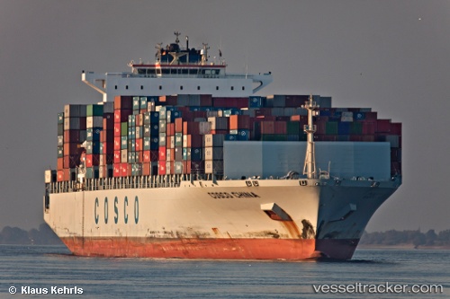
Vessel Sm Charleston IMO: 9305465, MMSI: 636018237 Container Ship
UTC, 30.07167, 165.75667, course: -1, speed: 21
UTC, 29.98908, 166.50934, course: 97, speed: 21
2026-02-13 09:56:37 UTC, 29.91333, 167.45166, course: -1, speed: 21
Live AIS position:
UTC. Open sea (no nearby ports in database)),
updated 2026-02-13 09:56:37 UTC.
Find the position of the vessel Sm Charleston on the map. The latter are known coordinates and path.
marine traffic ship tracker show on live map
The current position of vessel Sm Charleston is 29.91333 lat / 167.45166 lng. Updated: 2026-02-13 09:56:37 UTCDetails:
Last coordinates of the vessel:
UTC, 30.18257, 164.82924, course: 97, speed: 21.8UTC, 30.07167, 165.75667, course: -1, speed: 21
UTC, 29.98908, 166.50934, course: 97, speed: 21
2026-02-13 09:56:37 UTC, 29.91333, 167.45166, course: -1, speed: 21