 vesseltracker.com
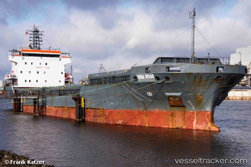
Vessel MANISA SOLE IMO: 9306304, MMSI: 255806260 General Cargo
UTC, 40.67600, 14.74600, course: -1, speed: 0
UTC, 40.67600, 14.74600, course: 160, speed: 0
2026-02-12 07:47:54 UTC, 40.67600, 14.74600, course: 160, speed: 0.1
Live AIS position:
UTC. Near Salerno),
updated 2026-02-12 07:47:54 UTC.
Find the position of the vessel MANISA SOLE on the map. The latter are known coordinates and path.
marine traffic ship tracker show on live map
The current position of vessel MANISA SOLE is 40.67600 lat / 14.74600 lng. Updated: 2026-02-12 07:47:54 UTCCurrently sailing under the flag of Portugal
MANISA SOLE built in 2005 year
Deadweight:
7616 tDetails:
Last coordinates of the vessel:
UTC, 40.67600, 14.74600, course: 160, speed: 0.1UTC, 40.67600, 14.74600, course: -1, speed: 0
UTC, 40.67600, 14.74600, course: 160, speed: 0
2026-02-12 07:47:54 UTC, 40.67600, 14.74600, course: 160, speed: 0.1