 vesseltracker.com
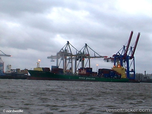
Vessel Jeju Island IMO: 9308417, MMSI: 538005592 Container Ship
UTC, 23.20949, 117.37060, course: 232, speed: 17.5
UTC, 22.80459, 116.99784, course: 205, speed: 16.7
2026-03-25 01:58:10 UTC, 22.50238, 116.61335, course: 250, speed: 15
Live Vessel Jeju Island Analytics (details, animations, etc.)
Live AIS position: UTC. 36 nm SE of Jinghai), updated 2026-03-25 01:58:10 UTC.Find the position of the vessel Jeju Island on the map. The latter are known coordinates and path.
marine traffic ship tracker show on live map
The current position of vessel Jeju Island is 22.50238 lat / 116.61335 lng. Updated: 2026-03-25 01:58:10 UTCCurrently sailing under the flag of Marshall Is
Jeju Island built in 2006 year
Deadweight:
37882 tDetails:
Last coordinates of the vessel:
UTC, 23.52245, 117.84745, course: 210, speed: 17.9UTC, 23.20949, 117.37060, course: 232, speed: 17.5
UTC, 22.80459, 116.99784, course: 205, speed: 16.7
2026-03-25 01:58:10 UTC, 22.50238, 116.61335, course: 250, speed: 15