 vesseltracker.com
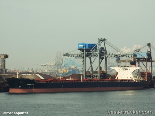
Vessel Star Lady IMO: 9311608, MMSI: 311000507 Bulk Carrier
UTC, -31.25057, 14.92017, course: 147, speed: 7.5
UTC, -31.47294, 15.12893, course: 142, speed: 8
2026-03-24 17:56:22 UTC, -31.70667, 15.37167, course: -1, speed: 9
Live Vessel Star Lady Analytics (details, animations, etc.)
Live AIS position: UTC. 130 nm W of Stompneus), updated 2026-03-24 17:56:22 UTC.Find the position of the vessel Star Lady on the map. The latter are known coordinates and path.
marine traffic ship tracker show on live map
The current position of vessel Star Lady is -31.70667 lat / 15.37167 lng. Updated: 2026-03-24 17:56:22 UTCCurrently sailing under the flag of Bahamas
Star Lady built in 2005 year
Deadweight:
171877 tDetails:
Last coordinates of the vessel:
UTC, -31.05572, 14.73254, course: 146, speed: 7.8UTC, -31.25057, 14.92017, course: 147, speed: 7.5
UTC, -31.47294, 15.12893, course: 142, speed: 8
2026-03-24 17:56:22 UTC, -31.70667, 15.37167, course: -1, speed: 9