 vesseltracker.com
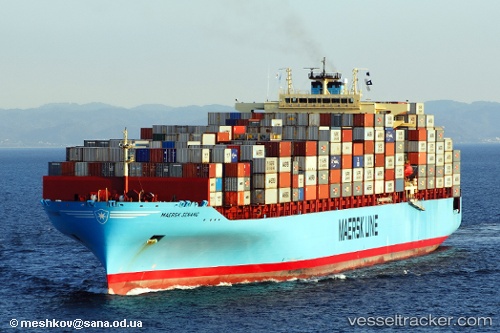
 Maersk Senang
Current Status
Where is the vessel?
Maersk Senang is currently in 198 nm NW of Ile Desroches, based on AIS data received about 4h ago.
Latest AIS update:
Current position: 3.90667° S, 50.88667° E (198 nm NW of Ile Desroches)
Average speed (last 7 days): Loading…
Average speed (last 30 days): Loading…
Vessel profile: Maersk Senang is a Container Ship with dimensions 319m x 40m.
This page combines live AIS, route history, probable destination signals, nearby traffic, and port activity for practical vessel monitoring.
The current position of vessel Maersk Senang is -3.90667 lat / 50.88667 lng. Updated: 2026-03-25 04:00:01 UTCNearest reference points:
- 118 nm W of Ile Desroches
Currently sailing under the flag of Singapore ![]()
Maersk Senang built in 2007 year
Deadweight:
81094 tDetails:
Live Vessel Maersk Senang Analytics (details, animations, etc.)
Recent AIS points (UTC):
2026-03-25 00:53:19 UTC · -4.54500, 50.47167 · SOG 15 kn · COG -1°2026-03-25 00:53:19 UTC · -4.54500, 50.47167 · SOG 15 kn · COG -1°
2026-03-25 04:00:01 UTC · -3.90667, 50.88667 · SOG 15 kn · COG -1°
2026-03-25 04:00:01 UTC · -3.90667, 50.88667 · SOG 15 kn · COG -1°