 vesseltracker.com
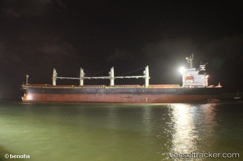
Vessel Samir IMO: 9317133, MMSI: 405000198 Bulk Carrier
UTC, 21.40954, 91.81388, course: 183, speed: 0
UTC, 21.40921, 91.81431, course: 196, speed: 0.1
2026-03-24 21:18:12 UTC, 21.40673, 91.81274, course: 60, speed: 0.4
Live Vessel Samir Analytics (details, animations, etc.)
Live AIS position: UTC. Near Cox's Bazar), updated 2026-03-24 21:18:12 UTC.Find the position of the vessel Samir on the map. The latter are known coordinates and path.
marine traffic ship tracker show on live map
The current position of vessel Samir is 21.40673 lat / 91.81274 lng. Updated: 2026-03-24 21:18:12 UTCDetails:
Last coordinates of the vessel:
UTC, 21.40936, 91.81376, course: 181, speed: 0.1UTC, 21.40954, 91.81388, course: 183, speed: 0
UTC, 21.40921, 91.81431, course: 196, speed: 0.1
2026-03-24 21:18:12 UTC, 21.40673, 91.81274, course: 60, speed: 0.4