 vesseltracker.com
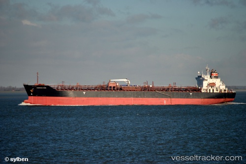
Chemroad Rose
Current StatusWhere is the vessel?
Chemroad Rose is currently in 15 nm NE of AL JUBAIL, based on AIS data received about 1h ago.
Latest AIS update:
Current position: 27.27972° N, 49.90527° E (15 nm NE of AL JUBAIL)
Average speed (last 7 days): Loading…
Average speed (last 30 days): Loading…
Vessel profile: Chemroad Rose is a Chemical Tanker with dimensions 26m x 169m.
This page combines live AIS, route history, probable destination signals, nearby traffic, and port activity for practical vessel monitoring.
The current position of vessel Chemroad Rose is 27.27972 lat / 49.90527 lng. Updated: 2026-03-25 23:29:51 UTCNearest reference points:
- 13 nm NE of AL JUBAIL
- Near Al Jubayl
- Near Al Jubayl Industrial City
Details:
Live Vessel Chemroad Rose Analytics (details, animations, etc.)
Recent AIS points (UTC):
2026-03-25 17:38:51 UTC · 27.27908, 49.90490 · SOG 0.1 kn · COG 116°2026-03-25 19:44:51 UTC · 27.27948, 49.90507 · SOG 0.1 kn · COG 121°
2026-03-25 22:11:51 UTC · 27.27973, 49.90536 · SOG 0 kn · COG 124°
2026-03-25 23:29:51 UTC · 27.27972, 49.90527 · SOG 0.1 kn · COG 127°