 vesseltracker.com
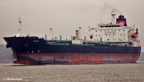
Vessel Northern Light IMO: 9318022, MMSI: 538004293 Chemical Oil Products Tanker
Live AIS position:
UTC. 27 nm SW of Jazireh-Ye Lavan),
updated 2025-11-07 13:09:38 UTC.
Find the position of the vessel Northern Light on the map. The latter are known coordinates and path.
marine traffic ship tracker show on live map
The current position of vessel Northern Light is 26.50092 lat / 52.93706 lng. Updated: 2025-11-07 13:09:38 UTCCurrently sailing under the flag of Marshall Is
Northern Light built in 2006 year
Deadweight:
50922 tDetails:
Last coordinates of the vessel:
2025-11-07 13:09:38 UTC, 26.50092, 52.93706, course: 324, speed: 52