 vesseltracker.com
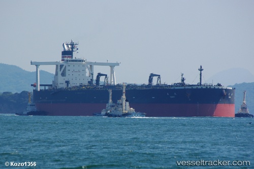
Vessel Tenki IMO: 9321299, MMSI: 372495000 Crude Oil Tanker
UTC, 11.25010, 101.92544, course: 158, speed: 13.6
UTC, 10.93833, 102.04167, course: -1, speed: 13
2026-02-08 17:50:54 UTC, 10.45167, 102.26667, course: -1, speed: 13
Live AIS position:
UTC. 55 nm NE of Tantawan Terminal),
updated 2026-02-08 17:50:54 UTC.
Find the position of the vessel Tenki on the map. The latter are known coordinates and path.
marine traffic ship tracker show on live map
The current position of vessel Tenki is 10.45167 lat / 102.26667 lng. Updated: 2026-02-08 17:50:54 UTCCurrently sailing under the flag of Panama
Tenki built in 2007 year
Deadweight:
316021 tDetails:
Last coordinates of the vessel:
UTC, 11.73728, 101.71327, course: 159, speed: 13.7UTC, 11.25010, 101.92544, course: 158, speed: 13.6
UTC, 10.93833, 102.04167, course: -1, speed: 13
2026-02-08 17:50:54 UTC, 10.45167, 102.26667, course: -1, speed: 13