 vesseltracker.com
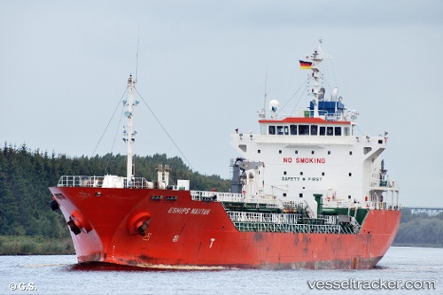
Vessel Doola Star IMO: 9321809, MMSI: 440232000 Chemical Oil Products Tanker
UTC, 37.02273, 126.40453, course: 292, speed: 0
UTC, 37.03273, 126.39550, course: 328, speed: 7.3
2026-02-21 05:43:35 UTC, 37.04402, 126.37187, course: 229, speed: 0
Live AIS position:
UTC. Near DAESAN),
updated 2026-02-21 05:43:35 UTC.
Find the position of the vessel Doola Star on the map. The latter are known coordinates and path.
marine traffic ship tracker show on live map
The current position of vessel Doola Star is 37.04402 lat / 126.37187 lng. Updated: 2026-02-21 05:43:35 UTCCurrently sailing under the flag of Korea
Doola Star built in 2005 year
Deadweight:
8657 tDetails:
Last coordinates of the vessel:
UTC, 37.02268, 126.40452, course: 292, speed: 0UTC, 37.02273, 126.40453, course: 292, speed: 0
UTC, 37.03273, 126.39550, course: 328, speed: 7.3
2026-02-21 05:43:35 UTC, 37.04402, 126.37187, course: 229, speed: 0