 vesseltracker.com
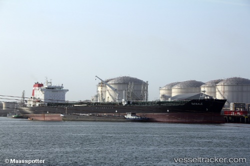
Vessel ROYAL ICE IMO: 9323340, MMSI: 613471021 Oil/Chemical Tanker
UTC, 36.10040, -7.94611, course: -1, speed: 8.5
UTC, 36.04623, -7.54265, course: -1, speed: 8.4
2026-03-24 19:23:42 UTC, 36.01613, -7.27368, course: -1, speed: 7.8
Live Vessel ROYAL ICE Analytics (details, animations, etc.)
Live AIS position: UTC. 45 nm W of Gibraltar), updated 2026-03-24 19:23:42 UTC.Find the position of the vessel ROYAL ICE on the map. The latter are known coordinates and path.
marine traffic ship tracker show on live map
The current position of vessel ROYAL ICE is 36.01613 lat / -7.27368 lng. Updated: 2026-03-24 19:23:42 UTCCurrently sailing under the flag of Cameroon
Details:
Last coordinates of the vessel:
UTC, 36.13823, -8.21677, course: -1, speed: 8.5UTC, 36.10040, -7.94611, course: -1, speed: 8.5
UTC, 36.04623, -7.54265, course: -1, speed: 8.4
2026-03-24 19:23:42 UTC, 36.01613, -7.27368, course: -1, speed: 7.8