 vesseltracker.com
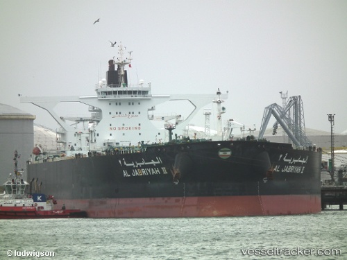
Al Jabriyah Ii
Current StatusWhere is the vessel?
Al Jabriyah Ii is currently in 112 nm N of Port Mathurin, based on AIS data received about 2h ago.
Latest AIS update:
Current position: 17.87010° S, 63.86327° E (112 nm N of Port Mathurin)
Average speed (last 7 days): Loading…
Average speed (last 30 days): Loading…
Vessel profile: Al Jabriyah Ii is a Crude Oil Tanker with dimensions 60m x 333m.
This page combines live AIS, route history, probable destination signals, nearby traffic, and port activity for practical vessel monitoring.
The current position of vessel Al Jabriyah Ii is -17.87010 lat / 63.86327 lng. Updated: 2026-03-25 07:31:59 UTCNearest reference points:
- 154 nm NE of Port Mathurin
- 106 nm NW of Port Mathurin
- 241 nm N of Port Mathurin
Details:
Live Vessel Al Jabriyah Ii Analytics (details, animations, etc.)
Recent AIS points (UTC):
2026-03-25 01:54:49 UTC · -18.56804, 62.78291 · SOG 13 kn · COG 52°2026-03-25 04:00:09 UTC · -18.30452, 63.18805 · SOG 13.4 kn · COG 53°
2026-03-25 05:43:24 UTC · -18.09054, 63.51861 · SOG 13.1 kn · COG 54°
2026-03-25 07:31:59 UTC · -17.87010, 63.86327 · SOG 13.1 kn · COG 55°