 vesseltracker.com
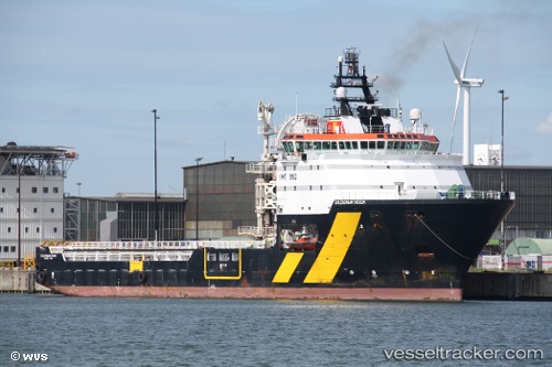
Vessel ILE DE MOLENE IMO: 9329928, MMSI: 228411900 Cable-Layer
UTC, 29.50167, -78.04167, course: -1, speed: 6
UTC, 29.65500, -77.95167, course: -1, speed: 7
2026-03-25 00:18:19 UTC, 29.93667, -77.77667, course: -1, speed: 7
Live Vessel ILE DE MOLENE Analytics (details, animations, etc.)
Live AIS position: UTC. 100 nm SW of Willow Street), updated 2026-03-25 00:18:19 UTC.Find the position of the vessel ILE DE MOLENE on the map. The latter are known coordinates and path.
marine traffic ship tracker show on live map
The current position of vessel ILE DE MOLENE is 29.93667 lat / -77.77667 lng. Updated: 2026-03-25 00:18:19 UTCCurrently sailing under the flag of France (RIF)
ILE DE MOLENE built in 2006 year
Deadweight:
3562 tDetails:
Last coordinates of the vessel:
UTC, 29.26167, -78.18333, course: -1, speed: 9UTC, 29.50167, -78.04167, course: -1, speed: 6
UTC, 29.65500, -77.95167, course: -1, speed: 7
2026-03-25 00:18:19 UTC, 29.93667, -77.77667, course: -1, speed: 7