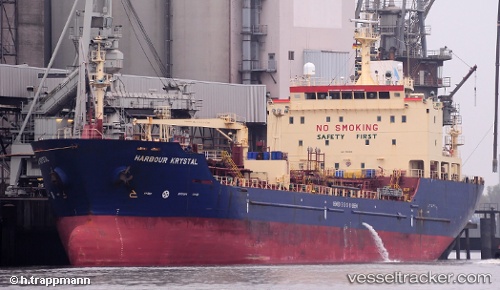
vessel MERMAID IMO: 9330020, Chemical/Oil Products Tanker vesseltracker.com
Vessel MERMAID IMO: 9330020, Chemical/Oil Products Tanker
MMSI: 341269000 callsign: V4NP4 size: x

Find the position of the vessel MERMAID on the map. The latter are known coordinates and path.

marine traffic ship tracker show on live map

The current position of vessel MERMAID is 25.56040 lat / 55.11532 lng. Updated: 2023-11-01 16:44:57 UTC

Currently sailing under the flag of St.Kitts and Nevis

MERMAID built in 2006 year

Deadweight:
11262 t

Details:


Last coordinates of the vessel:
2023-11-01 16:44:57 UTC, 25.56040, 55.11532, course: 214, speed: 0

Track of the vessel in the last 14 days


Most frequent ports a vessels calls at MERMAID (341269000):

Sharjah, traffic: 9
Mogadishu, traffic: 8
Fujairah, traffic: 3
Kismaayo, traffic: 1

Link to the map:


Find another ship

MERMAID (341269000) last ports (portcalls and passsages)

Sharjah | 2022-12-30 02:25:34
Sharjah | 2022-12-25 08:47:15
Sharjah | 2022-12-21 08:21:31
Sharjah | 2022-12-17 08:04:08
Sharjah | 2022-12-13 05:50:44
Mogadishu | 2022-11-29 05:12:14
Mogadishu | 2022-10-06 23:05:30
Mogadishu | 2022-10-02 19:46:25
Mogadishu | 2022-09-28 16:17:53
Sharjah | 2022-09-18 07:33:59
Kismaayo | 2022-08-31 19:08:42
Mogadishu | 2022-08-27 13:49:36
Mogadishu | 2022-08-23 10:22:04
Fujairah | 2022-07-19 04:17:21
Fujairah | 2022-06-12 01:52:16
Fujairah | 2022-06-08 01:13:28
Sharjah | 2022-01-11 10:00:40
Mogadishu | 2021-12-30 09:00:09
Sharjah | 2021-12-05 10:35:49