 vesseltracker.com
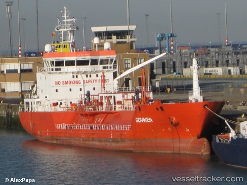
Vessel B Gas Master IMO: 9344203, MMSI: 215389000 Lpg Tanker
UTC, 43.3649, -3.10158, course: -1, speed: 0
UTC, 43.3649, -3.10157, course: 51, speed: 0.1
2026-03-25 02:25:34 UTC, 43.3649, -3.1016, course: 50, speed: 0
Live Vessel B Gas Master Analytics (details, animations, etc.)
Live AIS position: UTC. Near Zierbena), updated 2026-03-25 02:25:34 UTC.Find the position of the vessel B Gas Master on the map. The latter are known coordinates and path.
marine traffic ship tracker show on live map
The current position of vessel B Gas Master is 43.3649 lat / -3.1016 lng. Updated: 2026-03-25 02:25:34 UTCCurrently sailing under the flag of Malta
B Gas Master built in 2007 year
Deadweight:
3801 tDetails:
Last coordinates of the vessel:
UTC, 43.3649, -3.10159, course: 51, speed: 0.1UTC, 43.3649, -3.10158, course: -1, speed: 0
UTC, 43.3649, -3.10157, course: 51, speed: 0.1
2026-03-25 02:25:34 UTC, 43.3649, -3.1016, course: 50, speed: 0