 vesseltracker.com
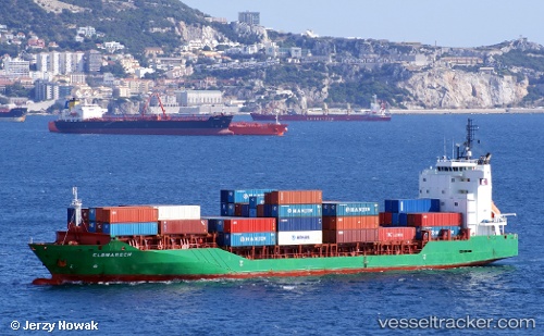
Vessel ATLANTIC BRIDGE IMO: 9351115, MMSI: 563152700 Container Ship
UTC, 32.64833, 126.89167, course: -1, speed: 15
UTC, 32.94176, 127.61930, course: 66, speed: 14.7
2026-02-18 04:31:55 UTC, 33.13636, 128.16762, course: 66, speed: 14.6
Live AIS position:
UTC. 65 nm W of Ikitsuki),
updated 2026-02-18 04:31:55 UTC.
Find the position of the vessel ATLANTIC BRIDGE on the map. The latter are known coordinates and path.
marine traffic ship tracker show on live map
The current position of vessel ATLANTIC BRIDGE is 33.13636 lat / 128.16762 lng. Updated: 2026-02-18 04:31:55 UTCCurrently sailing under the flag of Singapore
ATLANTIC BRIDGE built in 2007 year
Deadweight:
8692 tDetails:
Last coordinates of the vessel:
UTC, 32.42667, 126.44500, course: -1, speed: 15UTC, 32.64833, 126.89167, course: -1, speed: 15
UTC, 32.94176, 127.61930, course: 66, speed: 14.7
2026-02-18 04:31:55 UTC, 33.13636, 128.16762, course: 66, speed: 14.6