 vesseltracker.com
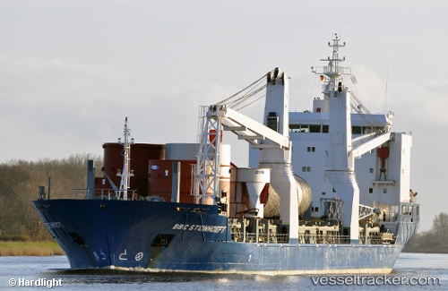
Vessel Meratus Project 3 IMO: 9358046, MMSI: 525125007 Multi Purpose Carrier
UTC, -2.43545, 133.11276, course: -1, speed: 0
UTC, -2.43545, 133.11276, course: -1, speed: 0
2026-02-26 05:33:45 UTC, -2.43540, 133.11275, course: -1, speed: 0
Live AIS position:
UTC. Near TANGGUH),
updated 2026-02-26 05:33:45 UTC.
Find the position of the vessel Meratus Project 3 on the map. The latter are known coordinates and path.
marine traffic ship tracker show on live map
The current position of vessel Meratus Project 3 is -2.43540 lat / 133.11275 lng. Updated: 2026-02-26 05:33:45 UTCDetails:
Last coordinates of the vessel:
UTC, -2.43545, 133.11278, course: -1, speed: 0UTC, -2.43545, 133.11276, course: -1, speed: 0
UTC, -2.43545, 133.11276, course: -1, speed: 0
2026-02-26 05:33:45 UTC, -2.43540, 133.11275, course: -1, speed: 0