 vesseltracker.com
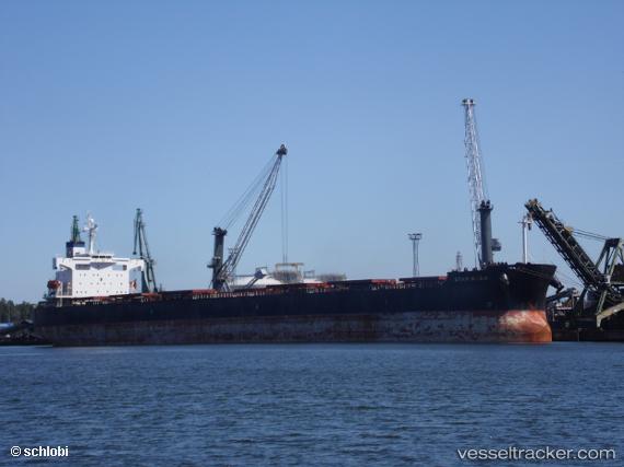
Vessel Star Nasia IMO: 9361237, MMSI: 538002633 Bulk Carrier
UTC, 30.42904, 49.06032, course: 334, speed: 0
UTC, 30.42903, 49.06032, course: 334, speed: 0
2026-02-13 17:59:51 UTC, 30.42903, 49.06032, course: 334, speed: 0
Live AIS position:
UTC. Near BANDAR IMAM KHOMEINI),
updated 2026-02-13 17:59:51 UTC.
Find the position of the vessel Star Nasia on the map. The latter are known coordinates and path.
marine traffic ship tracker show on live map
The current position of vessel Star Nasia is 30.42903 lat / 49.06032 lng. Updated: 2026-02-13 17:59:51 UTCDetails:
Last coordinates of the vessel:
UTC, 30.42905, 49.06031, course: 334, speed: 0UTC, 30.42904, 49.06032, course: 334, speed: 0
UTC, 30.42903, 49.06032, course: 334, speed: 0
2026-02-13 17:59:51 UTC, 30.42903, 49.06032, course: 334, speed: 0