 vesseltracker.com
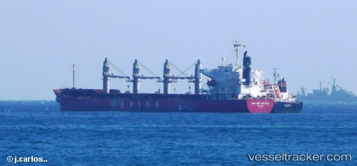
Vessel Navios Astra IMO: 9364796, MMSI: 353212000 Bulk Carrier
UTC, 29.75853, 32.57530, course: 336, speed: 0.1
UTC, 29.76038, 32.57660, course: 257, speed: 0
2026-02-15 09:37:58 UTC, 29.76073, 32.57662, course: 248, speed: 0.1
Live AIS position:
UTC. Near Al Adabiyah),
updated 2026-02-15 09:37:58 UTC.
Find the position of the vessel Navios Astra on the map. The latter are known coordinates and path.
marine traffic ship tracker show on live map
The current position of vessel Navios Astra is 29.76073 lat / 32.57662 lng. Updated: 2026-02-15 09:37:58 UTCDetails:
Last coordinates of the vessel:
UTC, 29.75832, 32.57473, course: 358, speed: 0UTC, 29.75853, 32.57530, course: 336, speed: 0.1
UTC, 29.76038, 32.57660, course: 257, speed: 0
2026-02-15 09:37:58 UTC, 29.76073, 32.57662, course: 248, speed: 0.1