 vesseltracker.com
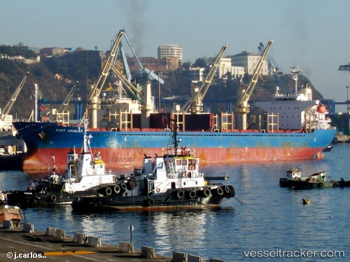
Vessel Port Angeles IMO: 9367621, MMSI: 477829600 Bulk Carrier
UTC, -26.59693, 160.58034, course: 138, speed: 7.6
UTC, -26.85027, 160.83186, course: 140, speed: 7.8
2026-02-24 05:31:32 UTC, -26.98643, 160.96771, course: 136, speed: 8
Live AIS position:
UTC. 394 nm E of Beerwah),
updated 2026-02-24 05:31:32 UTC.
Find the position of the vessel Port Angeles on the map. The latter are known coordinates and path.
marine traffic ship tracker show on live map
The current position of vessel Port Angeles is -26.98643 lat / 160.96771 lng. Updated: 2026-02-24 05:31:32 UTCCurrently sailing under the flag of Hong Kong
Port Angeles built in 2007 year
Deadweight:
28448 tDetails:
Last coordinates of the vessel:
UTC, -26.41265, 160.38937, course: 138, speed: 7.7UTC, -26.59693, 160.58034, course: 138, speed: 7.6
UTC, -26.85027, 160.83186, course: 140, speed: 7.8
2026-02-24 05:31:32 UTC, -26.98643, 160.96771, course: 136, speed: 8