 vesseltracker.com
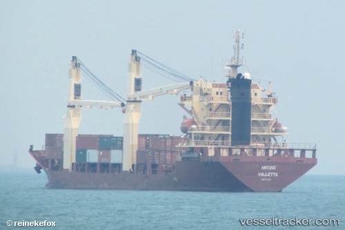
Vessel 525125023 IMO: 9371957, MMSI: 525125023
UTC, -7.20559, 112.72535, course: 335, speed: 0
UTC, -7.20558, 112.72535, course: 336, speed: 0
2026-02-17 17:55:57 UTC, -7.20500, 112.72500, course: -1, speed: 0
Live AIS position:
UTC. Near Tanjung Perak),
updated 2026-02-17 17:55:57 UTC.
Find the position of the vessel 525125023 on the map. The latter are known coordinates and path.
marine traffic ship tracker show on live map
The current position of vessel 525125023 is -7.20500 lat / 112.72500 lng. Updated: 2026-02-17 17:55:57 UTCDetails:
Last coordinates of the vessel:
UTC, -7.20556, 112.72535, course: 335, speed: 0UTC, -7.20559, 112.72535, course: 335, speed: 0
UTC, -7.20558, 112.72535, course: 336, speed: 0
2026-02-17 17:55:57 UTC, -7.20500, 112.72500, course: -1, speed: 0