 vesseltracker.com
 Berge Kuju
Current Status
Where is the vessel?
Berge Kuju is currently in 33 nm W of Conakry, based on AIS data received about 1h ago.
Latest AIS update:
Current position: 9.70507° N, 14.24793° W (33 nm W of Conakry)
Average speed (last 7 days): Loading…
Average speed (last 30 days): Loading…
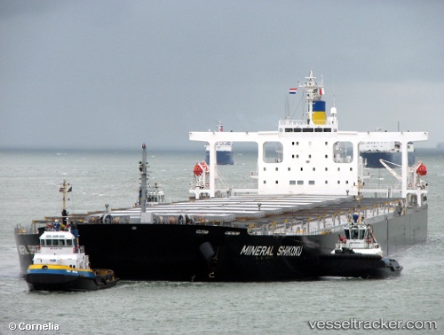
Vessel profile: Berge Kuju is a Ore Carrier with dimensions 299m x 50m.
This page combines live AIS, route history, probable destination signals, nearby traffic, and port activity for practical vessel monitoring.
The current position of vessel Berge Kuju is 9.70507 lat / -14.24793 lng. Updated: 2026-03-25 17:56:36 UTCNearest reference points:
- 49 nm S of Port de Boké
- Near Conakry
- 28 nm S of Conakry
Currently sailing under the flag of United Kingdom ![]()
Berge Kuju built in 2006 year
Deadweight:
206312 tDetails:
Live Vessel Berge Kuju Analytics (details, animations, etc.)
Recent AIS points (UTC):
2026-03-25 11:35:33 UTC · 9.70633, -14.24708 · SOG 0 kn · COG 287°2026-03-25 13:32:34 UTC · 9.70473, -14.24848 · SOG 0.1 kn · COG 328°
2026-03-25 16:08:36 UTC · 9.70467, -14.24870 · SOG 0 kn · COG 341°
2026-03-25 17:56:36 UTC · 9.70507, -14.24793 · SOG 0 kn · COG 315°