 vesseltracker.com
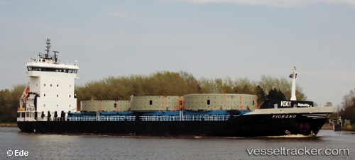
Vessel Somers Isles IMO: 9375147, MMSI: 245227000 Multi Purpose Carrier
UTC, 31.09167, -77.67333, course: -1, speed: 11
UTC, 31.11500, -77.19500, course: -1, speed: 10
2026-02-12 11:27:25 UTC, 31.10833, -76.86500, course: -1, speed: 11
Live AIS position:
UTC. 32 nm W of Willow Street),
updated 2026-02-12 11:27:25 UTC.
Find the position of the vessel Somers Isles on the map. The latter are known coordinates and path.
marine traffic ship tracker show on live map
The current position of vessel Somers Isles is 31.10833 lat / -76.86500 lng. Updated: 2026-02-12 11:27:25 UTCDetails:
Last coordinates of the vessel:
UTC, 31.10167, -78.05167, course: -1, speed: 11UTC, 31.09167, -77.67333, course: -1, speed: 11
UTC, 31.11500, -77.19500, course: -1, speed: 10
2026-02-12 11:27:25 UTC, 31.10833, -76.86500, course: -1, speed: 11