 vesseltracker.com
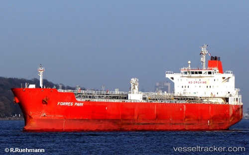
Vessel TRADEWIND ENERGY IMO: 9380532, MMSI: 538010039 Chemical/Oil Products Tanker
Live AIS position:
UTC. 26 nm N of Ust-Kamchatsk),
updated 2026-02-02 15:54:55 UTC.
Find the position of the vessel TRADEWIND ENERGY on the map. The latter are known coordinates and path.
marine traffic ship tracker show on live map
The current position of vessel TRADEWIND ENERGY is 56.60922 lat / 162.53168 lng. Updated: 2026-02-02 15:54:55 UTCCurrently sailing under the flag of Marshall Islands
TRADEWIND ENERGY built in 2009 year
Deadweight:
47128 tDetails:
Last coordinates of the vessel:
2026-02-02 15:54:55 UTC, 56.60922, 162.53168, course: 0, speed: 68.6