 vesseltracker.com
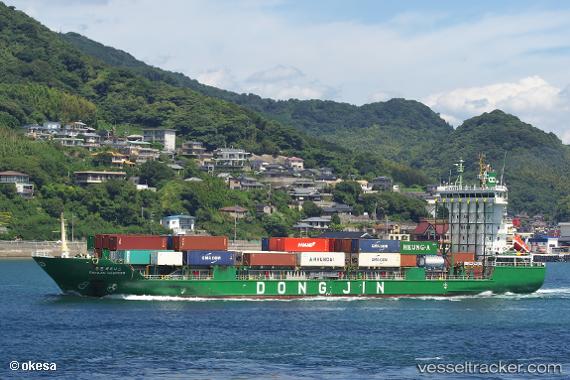
 MARWIN
Current Status
Where is the vessel?
MARWIN is currently in 22 nm S of Methoni, based on AIS data received about 2h ago.
Latest AIS update:
Current position: 36.44979° N, 21.67790° E (22 nm S of Methoni)
Average speed (last 7 days): Loading…
Average speed (last 30 days): Loading…
Vessel profile: MARWIN is a Container Ship with dimensions m x m.
This page combines live AIS, route history, probable destination signals, nearby traffic, and port activity for practical vessel monitoring.
The current position of vessel MARWIN is 36.44979 lat / 21.67790 lng. Updated: 2026-03-25 21:43:25 UTCNearest reference points:
- 23 nm S of Methoni
- 17 nm S of Areópolis
- Near Kythira
Currently sailing under the flag of Panama ![]()
Details:
Live Vessel MARWIN Analytics (details, animations, etc.)
Recent AIS points (UTC):
2026-03-25 15:44:26 UTC · 37.35741, 20.59251 · SOG 13.1 kn · COG 150°2026-03-25 18:01:56 UTC · 36.93742, 20.91222 · SOG 12.6 kn · COG 130°
2026-03-25 19:48:57 UTC · 36.68901, 21.27627 · SOG 13 kn · COG 129°
2026-03-25 21:43:25 UTC · 36.44979, 21.67790 · SOG 12.5 kn · COG 121°