 vesseltracker.com
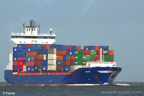
Vessel Empire IMO: 9387425, MMSI: 245258000 Container Ship
Live AIS position:
UTC. Near HOOKSIEL),
updated 2026-02-17 09:27:32 UTC.
Find the position of the vessel Empire on the map. The latter are known coordinates and path.
marine traffic ship tracker show on live map
The current position of vessel Empire is 53.59904 lat / 8.15062 lng. Updated: 2026-02-17 09:27:32 UTCDetails:
Last coordinates of the vessel:
2026-02-17 09:27:32 UTC, 53.59904, 8.15062, course: 168, speed: 0