 GINGKO
Current Status
Where is the vessel?
GINGKO is currently in 26 nm E of Lianyungang, based on AIS data received about 14h ago.
Latest AIS update:
Current position: 34.88333° N, 119.94667° E (26 nm E of Lianyungang)
Average speed (last 7 days): Loading…
Average speed (last 30 days): Loading…
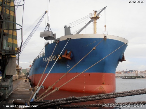
Vessel profile: GINGKO is a Bulk Carrier with dimensions m x m.
This page combines live AIS, route history, probable destination signals, nearby traffic, and port activity for practical vessel monitoring.
The current position of vessel GINGKO is 34.88333 lat / 119.94667 lng. Updated: 2026-05-23 12:11:39 UTCNearest reference points:
- 30 nm NE of CHENJIAGANG
- 18 nm E of Lianyungang
- 18 nm N of CHENJIAGANG
Currently sailing under the flag of Panama ![]()
Details:
Live Vessel GINGKO Analytics (details, animations, etc.)
Recent AIS points (UTC):
2026-05-23 08:11:58 UTC · 34.88469, 119.95123 · SOG 0 kn · COG 231°2026-05-23 10:04:51 UTC · 34.88538, 119.94831 · SOG 0.2 kn · COG 145°
2026-05-23 10:19:50 UTC · 34.88472, 119.94747 · SOG 0.1 kn · COG 115°
2026-05-23 12:11:39 UTC · 34.88333, 119.94667 · SOG 0 kn · COG -1°