 vesseltracker.com
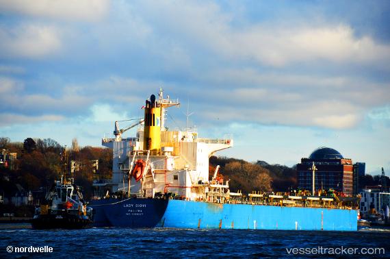
Vessel PANAGIA FORCE IMO: 9389227, MMSI: 538009434 Bulk Carrier
UTC, -12.84073, 66.65806, course: -1, speed: 11.5
UTC, -12.52158, 67.15548, course: -1, speed: 11.4
2026-02-25 04:28:16 UTC, -12.30190, 67.48113, course: -1, speed: 11.2
Live AIS position:
UTC. Open sea, approx. 420 nm off the nearest listed port),
updated 2026-02-25 04:28:16 UTC.
Find the position of the vessel PANAGIA FORCE on the map. The latter are known coordinates and path.
marine traffic ship tracker show on live map
The current position of vessel PANAGIA FORCE is -12.30190 lat / 67.48113 lng. Updated: 2026-02-25 04:28:16 UTCCurrently sailing under the flag of Marshall Islands
PANAGIA FORCE built in 2007 year
Deadweight:
81791 tDetails:
Last coordinates of the vessel:
UTC, -12.95148, 66.48596, course: -1, speed: 12UTC, -12.84073, 66.65806, course: -1, speed: 11.5
UTC, -12.52158, 67.15548, course: -1, speed: 11.4
2026-02-25 04:28:16 UTC, -12.30190, 67.48113, course: -1, speed: 11.2