 vesseltracker.com
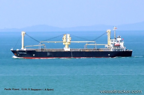
Vessel SKY HONEY IMO: 9392626, MMSI: 563128600 General Cargo Ship
UTC, 36.98833, 126.72833, course: -1, speed: 0
UTC, 36.98833, 126.72833, course: -1, speed: 0
2026-02-22 11:31:41 UTC, 36.98833, 126.72833, course: -1, speed: 0
Live AIS position:
UTC. Near Dangjin),
updated 2026-02-22 11:31:41 UTC.
Find the position of the vessel SKY HONEY on the map. The latter are known coordinates and path.
marine traffic ship tracker show on live map
The current position of vessel SKY HONEY is 36.98833 lat / 126.72833 lng. Updated: 2026-02-22 11:31:41 UTCCurrently sailing under the flag of Singapore
SKY HONEY built in 2007 year
Deadweight:
12121 tDetails:
Last coordinates of the vessel:
UTC, 36.98833, 126.72833, course: -1, speed: 0UTC, 36.98833, 126.72833, course: -1, speed: 0
UTC, 36.98833, 126.72833, course: -1, speed: 0
2026-02-22 11:31:41 UTC, 36.98833, 126.72833, course: -1, speed: 0