 vesseltracker.com
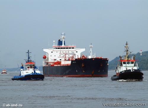
Vessel Sunny Bay IMO: 9396799, MMSI: 538003115 Chemical Oil Products Tanker
UTC, 26.16276, 50.67368, course: 329, speed: 0
UTC, 26.16277, 50.67369, course: 328, speed: 0
2026-02-17 04:20:34 UTC, 26.16280, 50.67369, course: 329, speed: 0
Live AIS position:
UTC. Near Sitrah Anchorage),
updated 2026-02-17 04:20:34 UTC.
Find the position of the vessel Sunny Bay on the map. The latter are known coordinates and path.
marine traffic ship tracker show on live map
The current position of vessel Sunny Bay is 26.16280 lat / 50.67369 lng. Updated: 2026-02-17 04:20:34 UTCCurrently sailing under the flag of Marshall Is
Sunny Bay built in 2008 year
Deadweight:
50661 tDetails:
Last coordinates of the vessel:
UTC, 26.16277, 50.67367, course: 328, speed: 0UTC, 26.16276, 50.67368, course: 329, speed: 0
UTC, 26.16277, 50.67369, course: 328, speed: 0
2026-02-17 04:20:34 UTC, 26.16280, 50.67369, course: 329, speed: 0