 vesseltracker.com
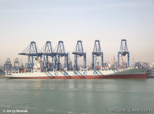
Vessel Tian An He IMO: 9400564, MMSI: 412714000 Container Ship
UTC, 24.41123, 118.05841, course: 280, speed: 0
UTC, 24.41122, 118.05849, course: 280, speed: 0
2026-02-17 16:02:22 UTC, 24.41119, 118.05847, course: 280, speed: 0
Live AIS position:
UTC. Near ZHANGZHOU),
updated 2026-02-17 16:02:22 UTC.
Find the position of the vessel Tian An He on the map. The latter are known coordinates and path.
marine traffic ship tracker show on live map
The current position of vessel Tian An He is 24.41119 lat / 118.05847 lng. Updated: 2026-02-17 16:02:22 UTCCurrently sailing under the flag of China
Tian An He built in 2010 year
Deadweight:
63165 tDetails:
Last coordinates of the vessel:
UTC, 24.41126, 118.05847, course: 280, speed: 0UTC, 24.41123, 118.05841, course: 280, speed: 0
UTC, 24.41122, 118.05849, course: 280, speed: 0
2026-02-17 16:02:22 UTC, 24.41119, 118.05847, course: 280, speed: 0