 vesseltracker.com
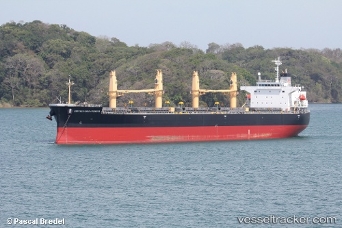
 HARMONY
Current Status
Where is the vessel?
HARMONY is currently in Near Congella, based on AIS data received about 1h ago.
Latest AIS update:
Current position: 29.86922° S, 31.01242° E (Near Congella)
Average speed (last 7 days): Loading…
Average speed (last 30 days): Loading…
Vessel profile: HARMONY is a Bulk Carrier with dimensions m x m.
This page combines live AIS, route history, probable destination signals, nearby traffic, and port activity for practical vessel monitoring.
The current position of vessel HARMONY is -29.86922 lat / 31.01242 lng. Updated: 2026-03-25 15:41:53 UTCNearest reference points:
- Near Durban
- Near Island View
- Near Umhlanga Rocks
Currently sailing under the flag of Tuvalu ![]()
Details:
Live Vessel HARMONY Analytics (details, animations, etc.)
Recent AIS points (UTC):
2026-03-25 09:56:20 UTC · -29.86922, 31.01242 · SOG 0 kn · COG 221°2026-03-25 12:23:18 UTC · -29.86922, 31.01243 · SOG 0 kn · COG 221°
2026-03-25 13:47:19 UTC · -29.86922, 31.01243 · SOG 0 kn · COG 221°
2026-03-25 15:41:53 UTC · -29.86922, 31.01242 · SOG 0 kn · COG -1°