 vesseltracker.com
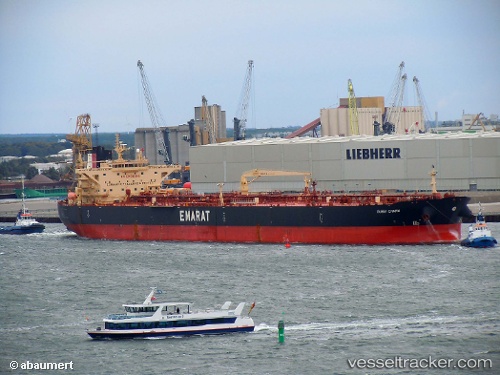
Vessel Dubai Charm IMO: 9402495, MMSI: 538003617 Crude Oil Tanker
UTC, -24.77611, 51.79850, course: 232, speed: 10
UTC, -24.90455, 51.52875, course: 237, speed: 10.5
2026-02-10 19:35:15 UTC, -25.07883, 51.19460, course: 240, speed: 10.8
Live AIS position:
UTC. 227 nm E of Fort Dauphin),
updated 2026-02-10 19:35:15 UTC.
Find the position of the vessel Dubai Charm on the map. The latter are known coordinates and path.
marine traffic ship tracker show on live map
The current position of vessel Dubai Charm is -25.07883 lat / 51.19460 lng. Updated: 2026-02-10 19:35:15 UTCDetails:
Last coordinates of the vessel:
UTC, -24.56524, 52.19912, course: 239, speed: 10.1UTC, -24.77611, 51.79850, course: 232, speed: 10
UTC, -24.90455, 51.52875, course: 237, speed: 10.5
2026-02-10 19:35:15 UTC, -25.07883, 51.19460, course: 240, speed: 10.8