 vesseltracker.com
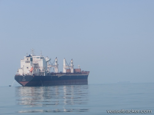
Vessel Roshak IMO: 9405966, MMSI: 422039600 Bulk Carrier
UTC, 26.96480, 56.33926, course: 108, speed: 0.1
UTC, 26.96292, 56.34028, course: 18, speed: 0
2026-02-15 07:27:20 UTC, 26.96296, 56.34114, course: 349, speed: 0
Live AIS position:
UTC. Near QUESHM),
updated 2026-02-15 07:27:20 UTC.
Find the position of the vessel Roshak on the map. The latter are known coordinates and path.
marine traffic ship tracker show on live map
The current position of vessel Roshak is 26.96296 lat / 56.34114 lng. Updated: 2026-02-15 07:27:20 UTCCurrently sailing under the flag of Iran
Roshak built in 2010 year
Deadweight:
53500 tDetails:
Last coordinates of the vessel:
UTC, 26.96516, 56.33948, course: 120, speed: 0UTC, 26.96480, 56.33926, course: 108, speed: 0.1
UTC, 26.96292, 56.34028, course: 18, speed: 0
2026-02-15 07:27:20 UTC, 26.96296, 56.34114, course: 349, speed: 0