 vesseltracker.com
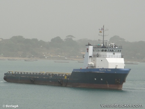
Vessel Cape Davis IMO: 9421386, MMSI: 303333000 Offshore Tug Supply Ship
UTC, 29.12175, -90.20518, course: 270, speed: 0
UTC, 29.12183, -90.20518, course: 270, speed: 0
2026-02-18 15:43:15 UTC, 29.12184, -90.20519, course: 270, speed: 0
Live AIS position:
UTC. Near FOURCHON),
updated 2026-02-18 15:43:15 UTC.
Find the position of the vessel Cape Davis on the map. The latter are known coordinates and path.
marine traffic ship tracker show on live map
The current position of vessel Cape Davis is 29.12184 lat / -90.20519 lng. Updated: 2026-02-18 15:43:15 UTCDetails:
Last coordinates of the vessel:
UTC, 29.12181, -90.20518, course: 270, speed: 0UTC, 29.12175, -90.20518, course: 270, speed: 0
UTC, 29.12183, -90.20518, course: 270, speed: 0
2026-02-18 15:43:15 UTC, 29.12184, -90.20519, course: 270, speed: 0