 vesseltracker.com
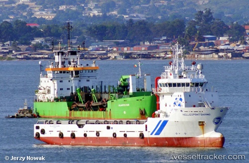
Vessel Osman Bey IMO: 9421764, MMSI: 271046820 Offshore Tug Supply Ship
UTC, 42.59333, 31.31667, course: -1, speed: 7
UTC, 42.81780, 31.14044, course: 337, speed: 1.7
2026-03-21 18:15:55 UTC, 42.85083, 31.12863, course: 358, speed: 1
Live Vessel Osman Bey Analytics (details, animations, etc.)
Live AIS position: UTC. 86 nm NW of Bartin), updated 2026-03-21 18:15:55 UTC.Find the position of the vessel Osman Bey on the map. The latter are known coordinates and path.
marine traffic ship tracker show on live map
The current position of vessel Osman Bey is 42.85083 lat / 31.12863 lng. Updated: 2026-03-21 18:15:55 UTCCurrently sailing under the flag of Turkey
Osman Bey built in 2009 year
Deadweight:
3250 tDetails:
Last coordinates of the vessel:
UTC, 42.37549, 31.51128, course: 330, speed: 7.5UTC, 42.59333, 31.31667, course: -1, speed: 7
UTC, 42.81780, 31.14044, course: 337, speed: 1.7
2026-03-21 18:15:55 UTC, 42.85083, 31.12863, course: 358, speed: 1