 vesseltracker.com
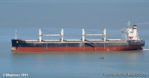
Vessel PORT MACAU IMO: 9423475, MMSI: 538008252 Bulk Carrier
UTC, -20.11812, 57.47772, course: 127, speed: 0.1
UTC, -20.11985, 57.47733, course: 76, speed: 0
2026-02-23 07:52:00 UTC, -20.12040, 57.47825, course: 50, speed: 0.2
Live AIS position:
UTC. Near Richeterre),
updated 2026-02-23 07:52:00 UTC.
Find the position of the vessel PORT MACAU on the map. The latter are known coordinates and path.
marine traffic ship tracker show on live map
The current position of vessel PORT MACAU is -20.12040 lat / 57.47825 lng. Updated: 2026-02-23 07:52:00 UTCCurrently sailing under the flag of Marshall Islands
PORT MACAU built in 2008 year
Deadweight:
58730 tDetails:
Last coordinates of the vessel:
UTC, -20.11726, 57.48009, course: 201, speed: 0.1UTC, -20.11812, 57.47772, course: 127, speed: 0.1
UTC, -20.11985, 57.47733, course: 76, speed: 0
2026-02-23 07:52:00 UTC, -20.12040, 57.47825, course: 50, speed: 0.2