 vesseltracker.com
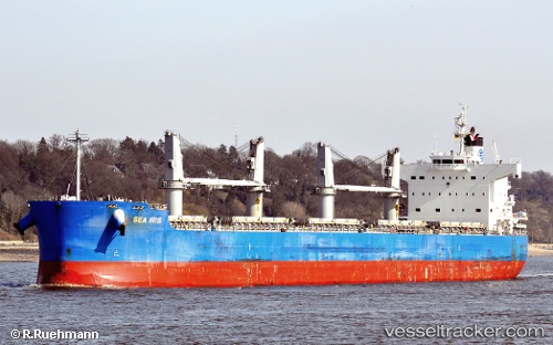
Vessel Sea Iris IMO: 9425916, MMSI: 351012000 Bulk Carrier
UTC, -29.50511, 32.59057, course: 211, speed: 10.4
UTC, -29.80667, 32.33333, course: -1, speed: 10
2026-03-24 09:38:41 UTC, -30.06599, 32.11807, course: 216, speed: 10.9
Live Vessel Sea Iris Analytics (details, animations, etc.)
Live AIS position: UTC. 57 nm SE of Ballito Bay), updated 2026-03-24 09:38:41 UTC.Find the position of the vessel Sea Iris on the map. The latter are known coordinates and path.
marine traffic ship tracker show on live map
The current position of vessel Sea Iris is -30.06599 lat / 32.11807 lng. Updated: 2026-03-24 09:38:41 UTCCurrently sailing under the flag of Panama
Sea Iris built in 2010 year
Deadweight:
58117 tDetails:
Last coordinates of the vessel:
UTC, -29.27882, 32.77764, course: 207, speed: 9.5UTC, -29.50511, 32.59057, course: 211, speed: 10.4
UTC, -29.80667, 32.33333, course: -1, speed: 10
2026-03-24 09:38:41 UTC, -30.06599, 32.11807, course: 216, speed: 10.9