.
vessel Hobart IMO: 9428322, Container Ship
vesseltracker.com
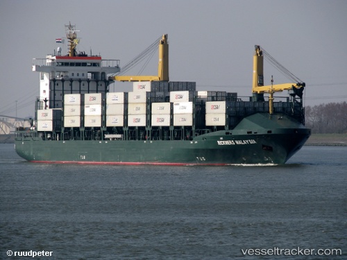
Vessel Hobart IMO: 9428322, MMSI: 636019383 Container Ship

callsign: D5UG2
size: 24x162

Live Vessel Hobart Analytics (details, animations, etc.)

Live AIS position: UTC. 62 nm E of MASIRAH), updated 2026-03-12 21:35:55 UTC.

Find the position of the vessel Hobart on the map. The latter are known coordinates and path.

marine traffic ship tracker show on live map

The current position of vessel Hobart is 20.50670 lat / 59.96274 lng. Updated: 2026-03-12 21:35:55 UTC
Details:


Last coordinates of the vessel:
2026-03-12 21:35:55 UTC, 20.50670, 59.96274, course: -1, speed: 11.9

Track of the vessel in the last 28 days


Most frequent ports a vessels calls at Hobart (636019383):

Ningbo, traffic: 1
Taicang, traffic: 1
TANJUNG PELEPAS, traffic: 1
Bayuquan, traffic: 1
Nantong, traffic: 1
DUNG QUAT, traffic: 1

Link to the map:


Find another ship

Hobart (636019383) last ports (portcalls and passsages)

Nantong | 2025-01-01 09:23:23
DUNG QUAT | 2024-11-13 23:22:00
Taicang | 2024-09-24 02:17:13
Ningbo | 2024-07-09 02:24:57
TANJUNG PELEPAS | 2024-04-03 23:11:46
Bayuquan | 2023-12-23 00:19:28