 vesseltracker.com
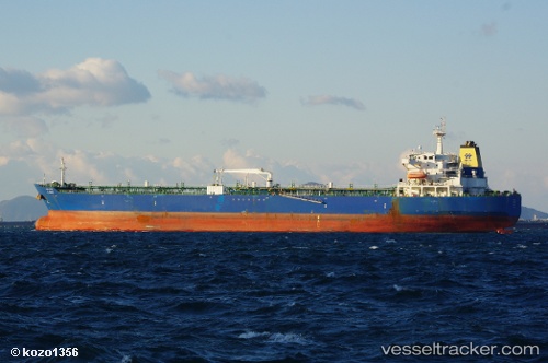
Vessel SM NAVIGATOR IMO: 9428841, MMSI: 356916000 Crude Oil Tanker
UTC, -13.62265, 108.22982, course: 164, speed: 11.9
UTC, -13.99223, 108.32622, course: 180, speed: 11.5
2026-03-24 09:28:17 UTC, -14.22167, 108.31833, course: -1, speed: 11
Live Vessel SM NAVIGATOR Analytics (details, animations, etc.)
Live AIS position: UTC. 275 nm SE of Flying Fish Cove), updated 2026-03-24 09:28:17 UTC.Find the position of the vessel SM NAVIGATOR on the map. The latter are known coordinates and path.
marine traffic ship tracker show on live map
The current position of vessel SM NAVIGATOR is -14.22167 lat / 108.31833 lng. Updated: 2026-03-24 09:28:17 UTCCurrently sailing under the flag of Panama
SM NAVIGATOR built in 2008 year
Deadweight:
50376 tDetails:
Last coordinates of the vessel:
UTC, -13.20167, 108.10667, course: -1, speed: 11UTC, -13.62265, 108.22982, course: 164, speed: 11.9
UTC, -13.99223, 108.32622, course: 180, speed: 11.5
2026-03-24 09:28:17 UTC, -14.22167, 108.31833, course: -1, speed: 11