 vesseltracker.com
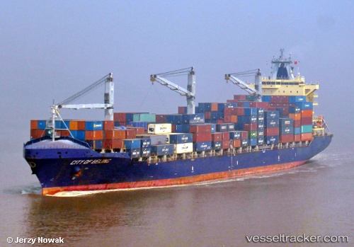
Vessel City Of Beijing IMO: 9434474, MMSI: 305482000 Container Ship
UTC, 13.57571, -89.83845, course: 126, speed: 0
UTC, 13.57500, -89.83833, course: -1, speed: 0
2026-02-27 02:35:59 UTC, 13.57564, -89.83842, course: 126, speed: 0
Live AIS position:
UTC. Near Acajutla),
updated 2026-02-27 02:35:59 UTC.
Find the position of the vessel City Of Beijing on the map. The latter are known coordinates and path.
marine traffic ship tracker show on live map
The current position of vessel City Of Beijing is 13.57564 lat / -89.83842 lng. Updated: 2026-02-27 02:35:59 UTCDetails:
Last coordinates of the vessel:
UTC, 13.57565, -89.83836, course: 126, speed: 0UTC, 13.57571, -89.83845, course: 126, speed: 0
UTC, 13.57500, -89.83833, course: -1, speed: 0
2026-02-27 02:35:59 UTC, 13.57564, -89.83842, course: 126, speed: 0